
A map of Spain and Portugal is easiest to understand when you treat the two countries as one broad travel area: the Iberian Peninsula. Spain covers most of the peninsula, Portugal runs along the western Atlantic side, and both countries have island regions that sit away from the mainland.
For trip planning, the map matters because distances can be deceptive. Madrid, Barcelona, Lisbon, Seville, Porto, Valencia, Bilbao, and the Algarve may look close enough on a screen, but the best route depends on rail lines, flights, roads, borders, coastlines, and how many nights you have.
This guide explains the main regions, cities, islands, and route patterns so you can read an Iberia map like a traveler, not like someone trying to memorize geography.
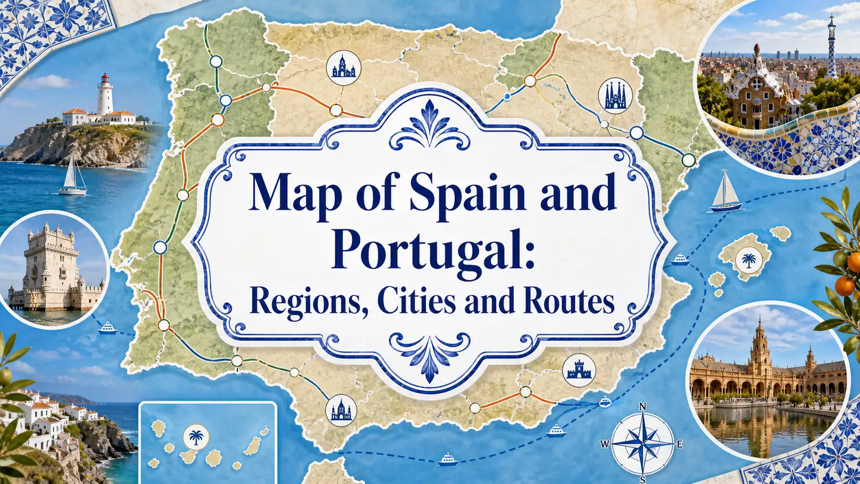
Spain and Portugal on the Map
Spain and Portugal share the Iberian Peninsula in southwestern Europe. Portugal sits on the western edge along the Atlantic Ocean, while Spain stretches across the larger eastern and central area, meeting France and Andorra along the Pyrenees in the north.
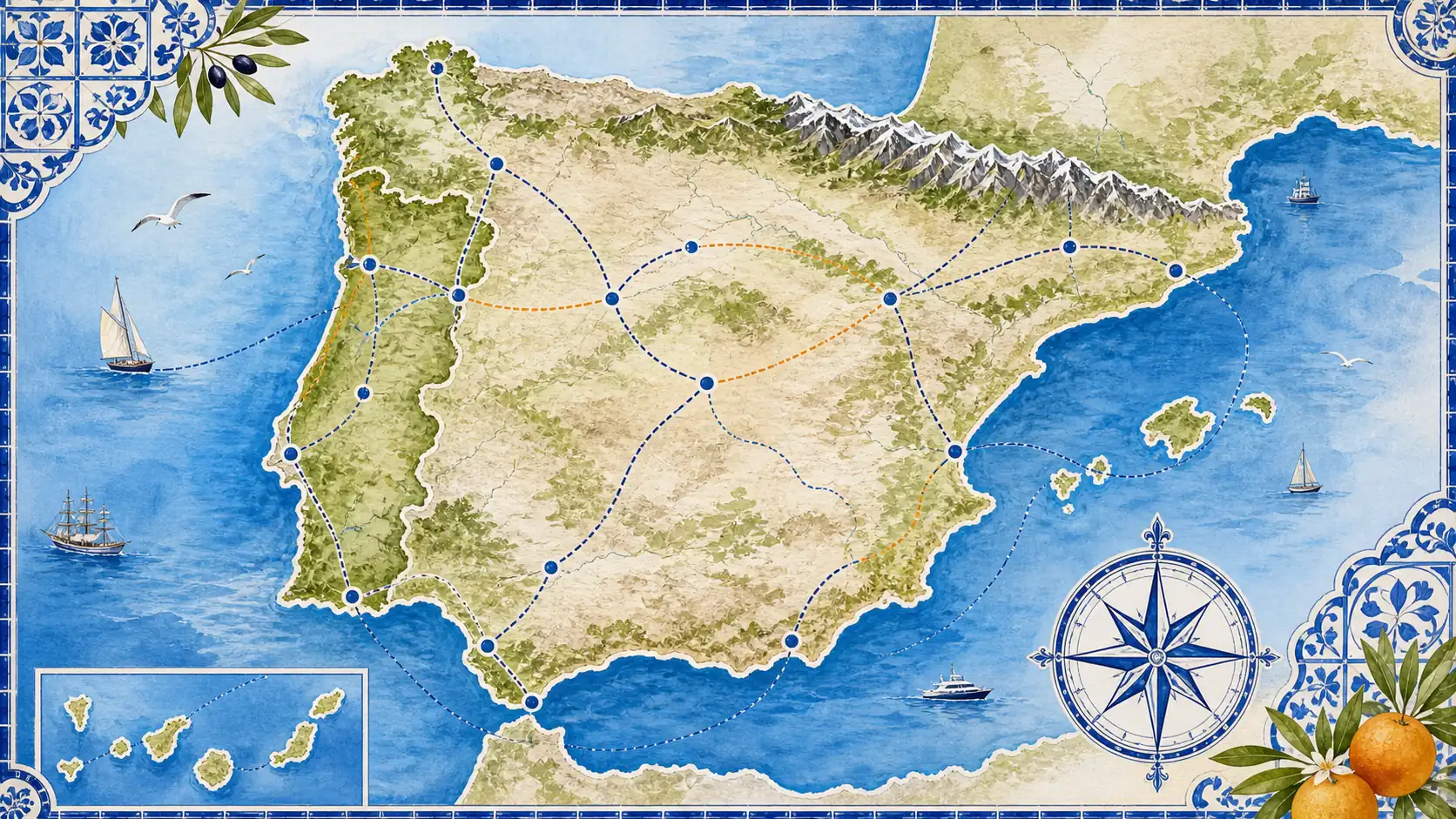
Spain also includes the Balearic Islands in the Mediterranean and the Canary Islands in the Atlantic. Portugal includes the Azores and Madeira in the Atlantic. These island groups are important because they may require flights or ferries rather than simple train or road connections.
The border between Spain and Portugal is long, but cross-border travel is not equally easy everywhere. Some routes are straightforward by car, while rail connections between the two countries can require more planning than routes within Spain or within Portugal.
Regions, Cities, and Islands to Know
The most useful way to read the map is by grouping destinations. Instead of seeing dozens of names, think in travel zones: central Spain, Mediterranean Spain, Andalusia, northern Spain, western Portugal, southern Portugal, and the Atlantic islands.
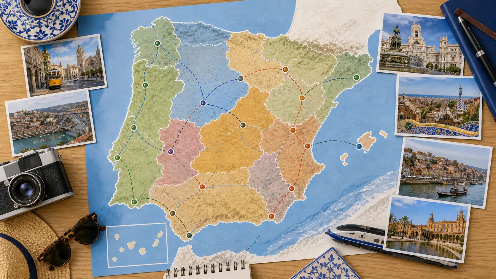
1. Spain's Main Mainland Zones
Central Spain is anchored by Madrid, which works well for rail connections and day trips. Mediterranean Spain includes Barcelona, Valencia, Alicante, and coastal routes. Andalusia covers Seville, Granada, Córdoba, Málaga, and many white villages. Northern Spain includes Basque Country, Cantabria, Asturias, Galicia, and mountain/coastal routes.
Useful reference: Spain's official tourism site organizes destinations by main cities, heritage cities, and autonomous regions on its Spain destinations page.
2. Portugal's Main Travel Regions
Portugal is easier to picture north to south. Porto and the North sit at the top; Centro de Portugal covers many inland and coastal towns; the Lisbon Region anchors the middle coast; Alentejo spreads across a quieter southern interior and coast; the Algarve forms the southern beach region.
Island note: Madeira and the Azores are Atlantic island regions, not quick add-ons from Lisbon unless your itinerary includes flights and enough time.
3. Major Cities on an Iberia Map
Madrid sits near the center of Spain, Barcelona on the northeast Mediterranean coast, Seville in the southwest, Valencia on the eastern coast, Bilbao in the north, and Santiago de Compostela in the northwest. In Portugal, Lisbon sits on the western coast near the Tagus River, Porto is farther north, and Faro is the main gateway for the Algarve.
4. Islands and Coastlines
The Balearic Islands sit in the Mediterranean east of mainland Spain, while the Canary Islands sit far southwest off northwest Africa. Portugal's Madeira and Azores are also Atlantic island destinations, and they belong on a different planning layer from mainland road or rail routes.
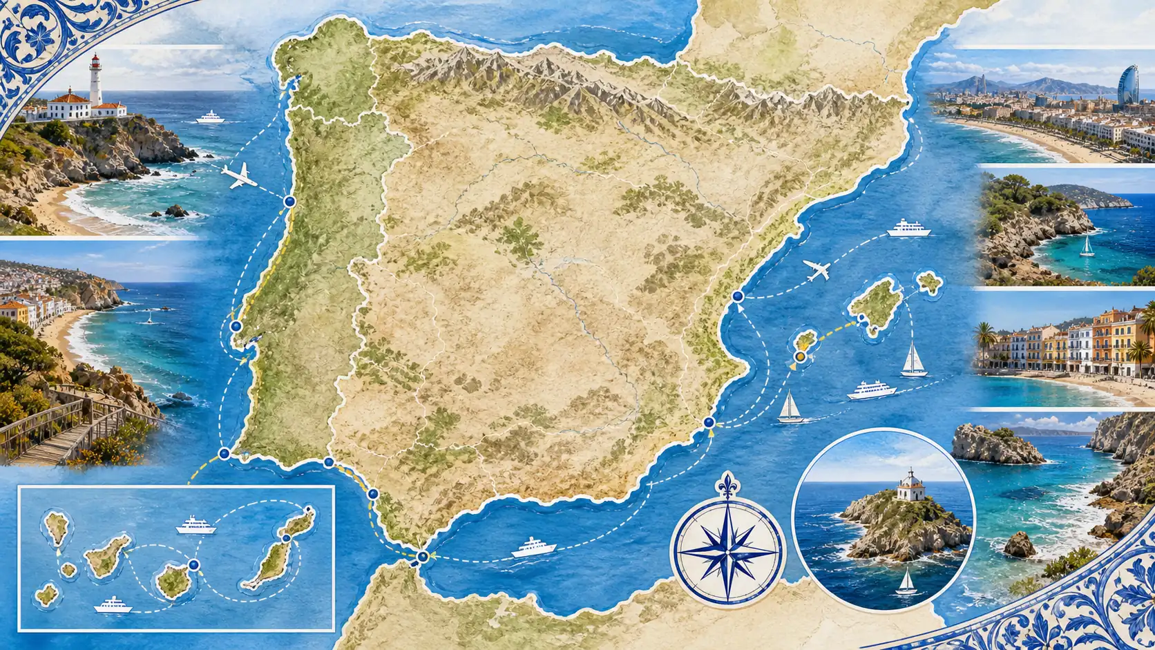
When comparing coastlines, Spain gives you Mediterranean, Atlantic, and island beach options. Portugal is more Atlantic-focused, with surf, cliffs, fishing towns, and long beaches from the north through the Algarve.
Route Ideas for Using the Map
A good Spain-and-Portugal route should follow geography instead of fighting it. The map may show two capitals on the same peninsula, but transport patterns, mountains, and coastlines still shape how easy the trip feels.
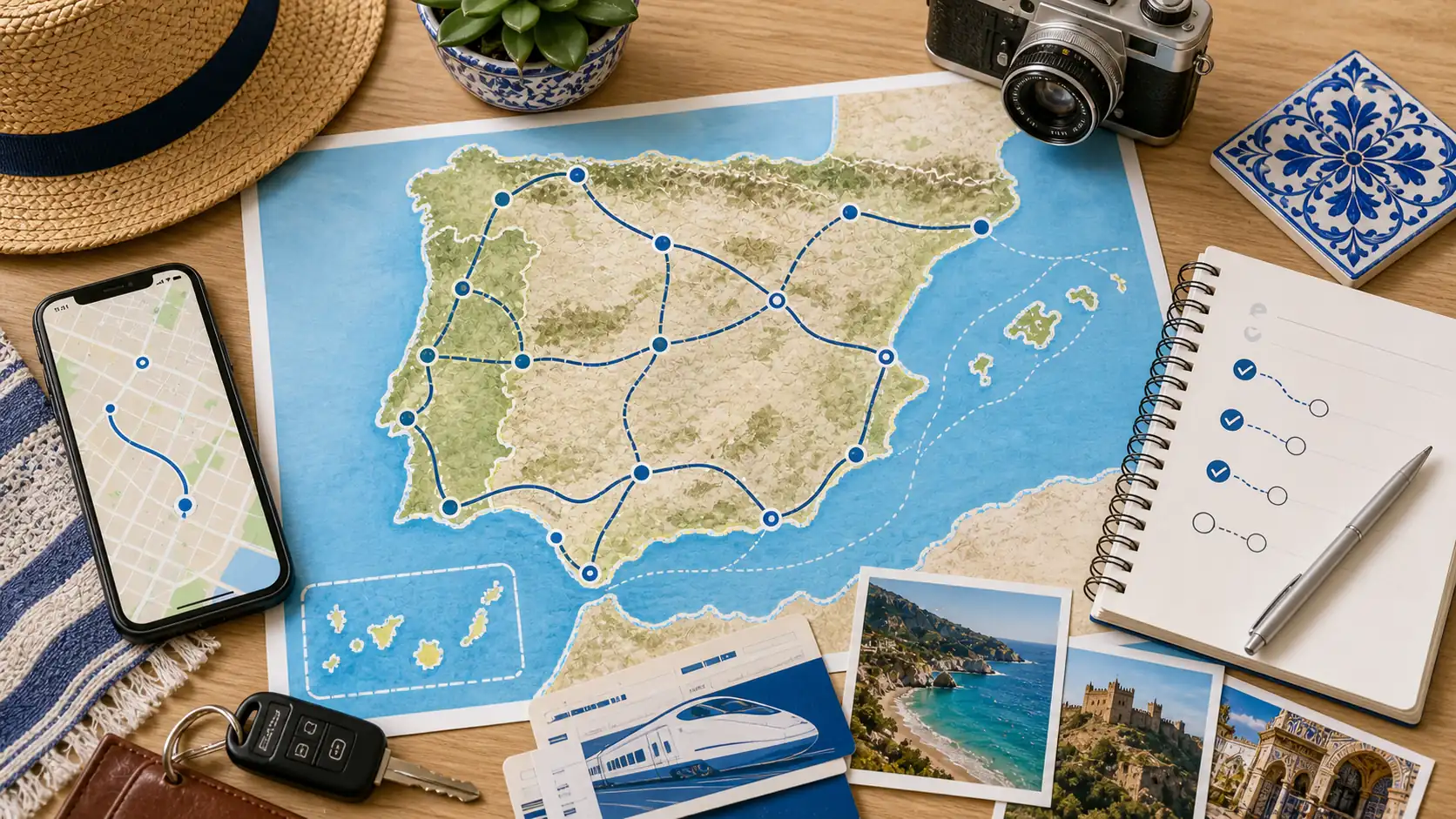
1. Classic Spain Route
Madrid, Barcelona, and Andalusia make a strong first Spain route. Madrid connects well to many cities, Barcelona gives Mediterranean architecture and coastline, and Andalusia adds Seville, Granada, Córdoba, and Málaga.
2. Classic Portugal Route
Lisbon, Porto, and the Algarve are the simplest Portugal triangle. Add Sintra, Coimbra, Évora, or Douro Valley if you want more culture, wine, or slow travel between the main cities.
3. Combined Spain and Portugal Route
A combined Iberia trip works best when you avoid trying to cover both countries fully. Madrid-Lisbon-Porto, Barcelona-Madrid-Lisbon, or Andalusia-Algarve-Lisbon can work, but each route has trade-offs in travel time and transport mode.
4. Train, Car, and Flight Choices
Rail is excellent within many parts of Spain, and Portugal has useful domestic rail routes, but cross-border rail is not always as direct as travelers expect. For Spanish rail routes, the official Renfe line maps are useful before you assume two cities connect easily.
Use this comparison before you commit to a route:
Route Type | Best For | Watch Out For |
|---|---|---|
Spain-only rail route | Madrid, Barcelona, Valencia, Seville, Córdoba, Málaga | Book key trains early on busy dates and avoid too many one-night stops. |
Portugal-only route | Lisbon, Porto, Coimbra, Algarve, Douro Valley | Some beach and rural areas are easier with a car. |
Spain plus Portugal | Longer trips of 10 to 14 days or more | Cross-border rail and road choices need careful timing. |
Island add-on | Beach, hiking, volcanic landscapes, slower travel | Flights and extra nights are usually needed. |
Maps are useful for the big picture, but live schedules decide whether a route is realistic. Keep travel days simple and protect your best sightseeing days from unnecessary transfers.
5. Connectivity While Moving Around
A map-based trip usually means checking routes, lodging addresses, train platforms, border crossings, restaurant locations, and weather on the move. If your phone supports eSIM, an iRoamly travel eSIM can help keep maps and booking tools available as you move between Spanish and Portuguese stops.
Map of Spain and Portugal FAQs
These answers cover the most common geography and itinerary questions that come up when travelers compare Spain and Portugal on one map.
1. What country borders Portugal?
Portugal's only land neighbor is Spain. The rest of Portugal's mainland boundary is coastline along the Atlantic Ocean.
2. Are the Canary Islands near mainland Spain?
No. The Canary Islands are Spanish, but they are far from mainland Spain in the Atlantic, off northwest Africa. They should usually be planned as a flight-based island trip.
3. Is Lisbon close to Madrid?
They look fairly close on a peninsula map, but the practical journey depends on transport mode and current schedules. Do not assume it is as simple as Madrid to Barcelona or Lisbon to Porto.
4. Which cities are easiest to combine on one Iberia trip?
Madrid and Barcelona are easy to combine within Spain, while Lisbon and Porto are easy to combine within Portugal. Cross-country combinations such as Madrid-Lisbon or Andalusia-Algarve need more careful planning.
5. Should I visit Spain and Portugal in one trip?
Yes, if you have enough time and choose a focused route. For one week, one country is usually better. For 10 to 14 days, a combined route can work if you limit the number of bases.
Final Thoughts
A map of Spain and Portugal becomes much easier once you stop seeing it as a list of city names and start seeing it as travel zones. Spain is broad and varied, Portugal follows the Atlantic edge, and both countries have islands that require separate planning.
For a first trip, choose a route that follows geography: one Spain region plus Portugal, one country in depth, or a focused city-to-city path. Trying to cover every famous destination usually makes the map feel smaller than the real journey.
Use official destination and transport pages for final route checks, keep your live maps available, and give yourself enough nights between major jumps. Iberia is easier, richer, and far more enjoyable when the map works with your itinerary.