
What is the natural border between France and Italy?
Want to learn more about the natural, political, and physical borders that lie between Europe’s two giants?
If you are visiting these magnificent landscapes, remember to equip yourself with an essential France travel connectivity kit to stay connected and easily share your breathtaking views.
Next, let’s explore the natural wonders that truly define the border between the two countries, and how they have shaped the local culture and landscapes.
What is the Natural Border Between France and Italy?
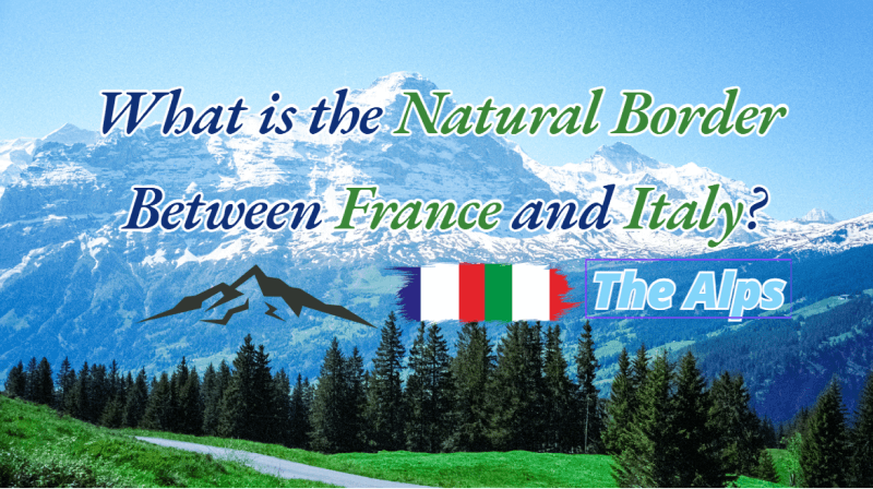
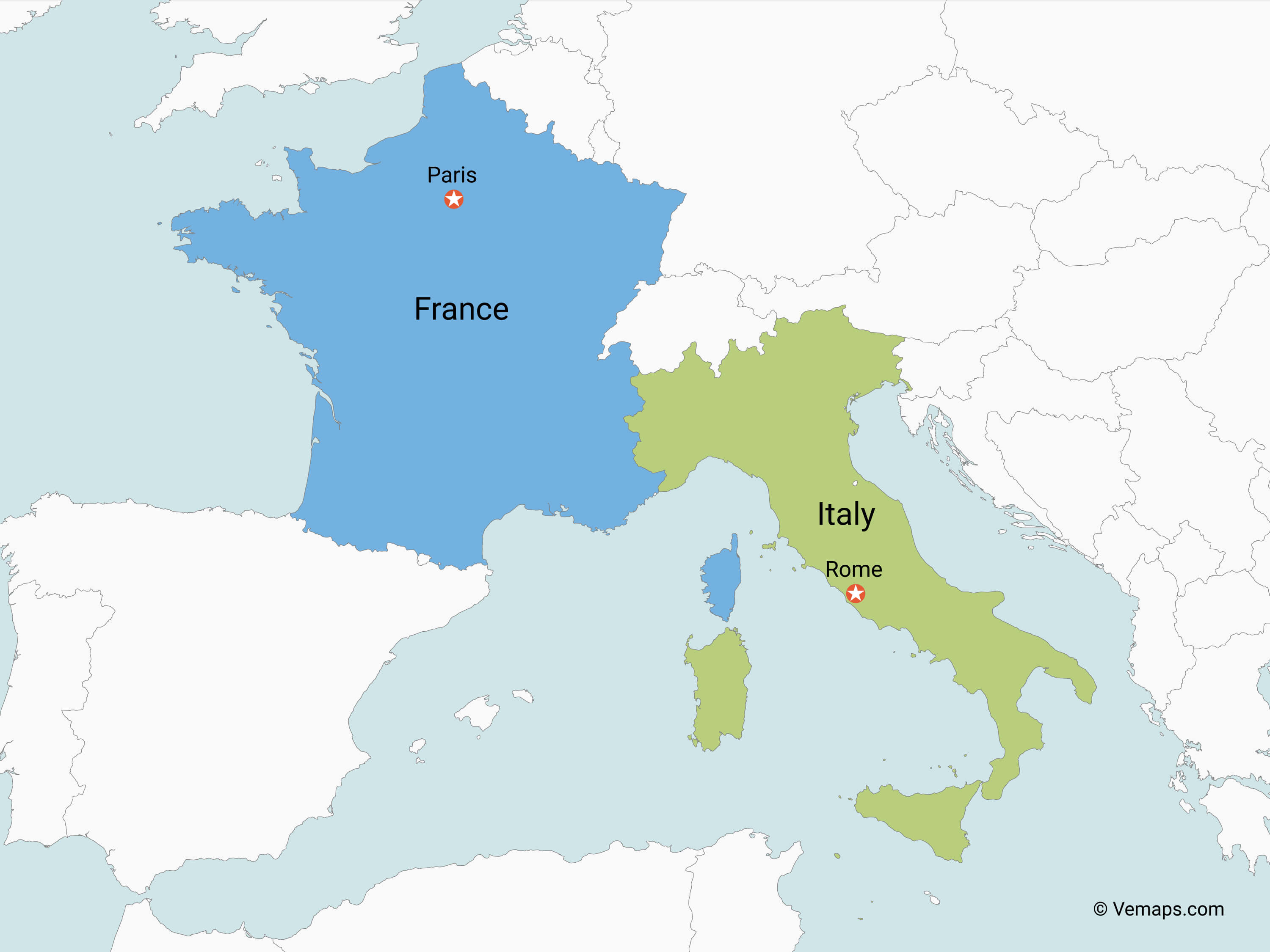
The natural border between France and Italy is the Alps, the towering peak-capped rock barricade that runs between these two great powers, and forms a semicircle around them.
Geographically and historically, this is the demarcation line that falls on the largest mountain range in Europe, and the highest and most extensive in the continent's west.
New Changes on the Italian-French Border: Impact of Glacier Melting in 2024
As global warming increases, we've seen notable changes along the borders in the Alps, particularly between Switzerland, Italy, and France in 2024. These shifts in borders are changing maps and creating new challenges in policy and environmental protection.
Specifics of the Border Adjustments
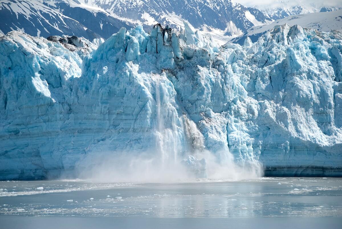
Glaciers are rapidly melting, reshaping long-established natural borders defined by ice and snow. In areas like Tête Grise/Plateau Rosa, Cabane Carrel, and Dos de Rollin—near popular ski destinations such as Matterhorn and Zermatt—retreating ice is shifting boundaries and forcing countries to update maps.
For travelers crossing these regions, a reliable connection like iRoamly helps you stay online, check updated maps, and know exactly which country you’re in.
France-Related Area Border Changes
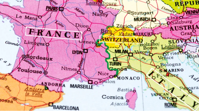
Most of the changes on the France-Switzerland border are due to new projects around Geneva, like a new tram line crossing the border that altered the boundary slightly between the Swiss town of Perly-Certoux and the French town of Bardonnex. Additionally, two changes come from environmental projects along the Arve and Foron rivers. These tweaks are small but show how infrastructure and environmental work can influence national borders.
The border between France and Italy hasn't really been affected by these updates. It still follows its usual path along the high peaks of the Alps, unchanged by these environmental and infrastructure developments.
How Was This Border Established?
Technically, the border between France and Italy was largely solidified by the Treaty of Turin in 1860, which saw regions including Savoy and the city of Nice ceded to French rule in exchange for armed aid.
Post-World War II readjustments further refined the border, shaping the line we recognize today—it's a history that's still very much alive in many of the region's customs and cultures, a confluence of peoples on this continental crossroads.
What Areas Are Involved?
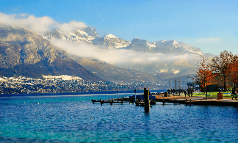
The French Alps run across two main regions of France: Provence-Alpes-Côte d'Azur and Auvergne-Rhône-Alpes. Some major French cities on or near the boundaries of these regions (and therefore close to the French Alps) include:
City | Region |
|---|---|
Nice | Provence-Alpes-Côte d'Azur |
Grenoble | Auvergne-Rhône-Alpes |
Annecy | Auvergne-Rhône-Alpes |
Chambéry | Auvergne-Rhône-Alpes |
Aix-en-Provence | Provence-Alpes-Côte d'Azur |
Savoie | It is right in the heart of the Alps. |
Gap | Provence-Alpes-Côte d'Azur |
In Italy, Liguria, Piedmont, and Valle d’Aosta boast not only rich cultural heritage but also breathtaking natural landscapes. While they may not appear on the typical lists of must-visit Italian destinations, they are just as worth exploring.
Are There Any Other Natural Borders Between France and Italy?
Beyond the presence of the Alps, there are other natural divider neat borders between France and Italy. Mont Blanc is split between the nations, running down the Alps and sitting at the juncture between the three countries.
The Maritime Alps are also a substantial mountain range following a course from the Mediterranean Sea and up inland, running parallel to the Alps and the main frontier.
Alps Overview
The Alps stretch for over 1,200 kilometers, crossing at least eight countries, including France, Italy, Switzerland, Austria, Germany, Slovenia, as well as the two microstates of Liechtenstein and Monaco.
As for France’s land area—about 550,000 square kilometers, making it one of the largest countries in Western Europe—its southeastern border is defined by this magnificent mountain range.
Between France and Italy, the Alps form a dramatic natural boundary, running roughly 500 kilometers from Lake Geneva to the Mediterranean Sea, and meeting Switzerland at a tri-country frontier in the north.
Beyond their striking beauty, the Alps play a vital role in shaping the climate and culture of the surrounding regions. Rising to 4,810 meters, Mont Blanc stands as the highest mountain in Western Europe.
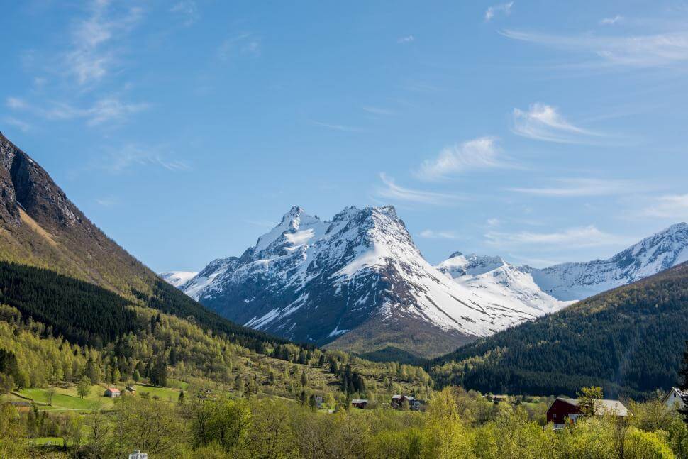
The mountains are famous for their glaciers, their alpine meadows, and their challenging topography in general. The result is some of the most eye-popping scenery on the continent, and a natural playground for outdoor enthusiasts, be it skiing in the winter, hiking in summer, or mountaineering all year round.
The French Alps
Location: Auvergne-Rhône-Alpes and Provence-Alpes-Côte d'Azur regions
The French Alps, especially around Chamonix and Annecy, offer year-round activities for outdoor lovers. In winter, you can enjoy world-class skiing and snowboarding, or try snowshoeing and ice climbing. When the snow melts, the mountains become a hiker’s paradise with scenic trails, mountain biking, rock climbing, and even paragliding for thrill-seekers.
Besides offering a wealth of adventure activities, the Alps feature charming villages, tranquil lakes, and delicious local cuisine. Its unique appeal surpasses that of France’s most popular tourist destinations.
Whether you’re seeking thrills or simply want to take in the scenery, this region will not disappoint.
Do the Alps Act as Borders Between Other Nations?
Not just the borderline through France and Italy, the Alps similarly straddle Switzerland, Austria, and Slovenia. In total, the mountains cross some eight countries, underscoring their role as a defining geographical landmark across Europe.
The high mountains offer a stark, physical, and long-recognized division between lands.
Summary:
As we conclude our tour of France and Italy's natural border, it's clear this isn't just a line on a map—with its soaring mountains and plunging valleys, the Alps haven't simply stood by while history unfolded, but have actively shaped the nations on either side.
Thank you for joining me—here's to many more journeys together!