
The Great Wall of China stretches across northern China, from Liaoning in the northeast to Gansu in the northwest. Rather than one continuous wall, it is a vast network of fortifications built across different periods.
Different maps show different parts of this network. National maps reveal its overall extent, while section maps help travelers plan entrances, walking routes, and transport.
This guide explains how to read the Great Wall of China on a map and choose the right section to visit. An iRoamly China travel eSIM can help with maps, navigation, and transport along the way.
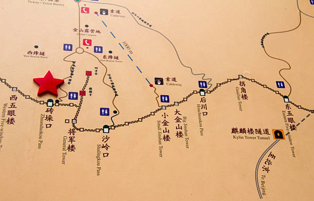
How to Read the Great Wall Map
One Network, Many Wall Lines
The Great Wall is a defensive system rather than one structure built at one time. Different states and dynasties constructed, reused, extended, or abandoned walls in different places.
The surviving network includes masonry walls, rammed-earth walls, trenches, passes, fortresses, beacon towers, and natural barriers incorporated into defensive lines.
China’s national identification recorded 21,196.18 kilometers of wall-and-trench remains across all periods.
That figure is cumulative: it adds separate main lines, branches, trenches, and fragments. It is not the distance between two endpoints, the length of an intact walkway, or a route someone could follow continuously.
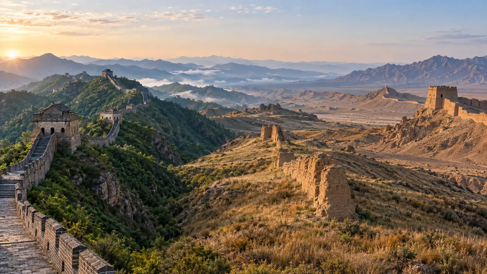
The best-known brick-and-stone ridges around Beijing mostly belong to the Ming system, but earlier defenses appear far beyond that familiar corridor.
This difference explains why a historical map may look much broader and more fragmented than a tourist map.
It also gives useful context to one of China’s most famous landmarks: the Wall’s importance comes from the scale and longevity of the whole network, not just its restored sections.
Why Eastern Endpoints Differ
Maps often disagree about where the Great Wall begins or ends because they are answering different questions. The following labels can all be useful when their scope is stated clearly.
Map label | What it means | Traveler takeaway |
|---|---|---|
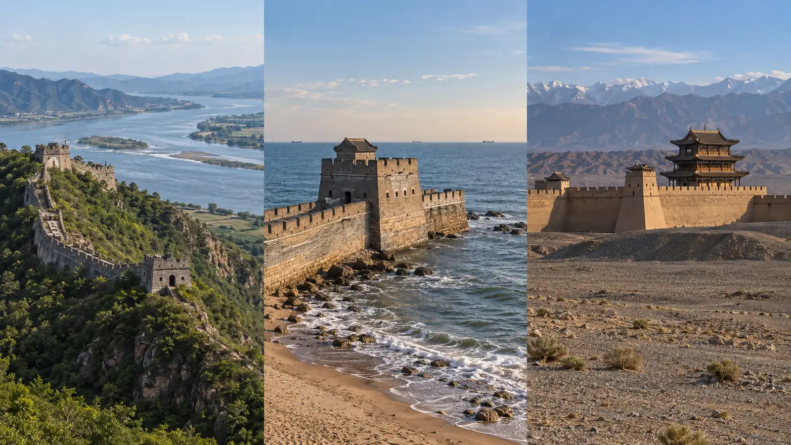
Hushan, Liaoning | Eastern endpoint used for the nationally surveyed Ming main line | Use this when tracing the broader Ming line toward the Yalu River near Dandong |
Shanhaiguan, Hebei | Major Ming pass and the eastern anchor in UNESCO’s concise public summary | Use this for the historic pass complex near Qinhuangdao |
Laolongtou, Hebei | The celebrated coastal terminal where a Ming wall line enters the Bohai Sea | Use this for the “Wall meets the sea” experience within the Shanhaiguan system |
Jiayuguan, Gansu | The principal western anchor of the Ming system and UNESCO summary | Use this for fortress architecture and Silk Road frontier history |
No single pair of endpoints encloses every recognized Great Wall resource from every era.
A responsible map should therefore identify whether it represents the Ming main line, UNESCO’s public heritage description, a coastal branch, or the all-period national inventory.
Fifteen Regions, Not One City
Officially recorded Great Wall resources occur in 15 provincial-level regions: Beijing, Tianjin, Hebei, Shanxi, Inner Mongolia, Liaoning, Jilin, Heilongjiang, Shandong, Henan, Shaanxi, Gansu, Qinghai, Ningxia, and Xinjiang.
These places do not form one modern sightseeing route, and the Wall does not simply follow China’s present international border.
For most first-time visitors, the practical map is much smaller. Beijing and neighboring Hebei contain the greatest concentration of well-known managed sections.
Liaoning and coastal Hebei clarify the eastern-end story, while Gansu gives the western Ming frontier a completely different desert setting.
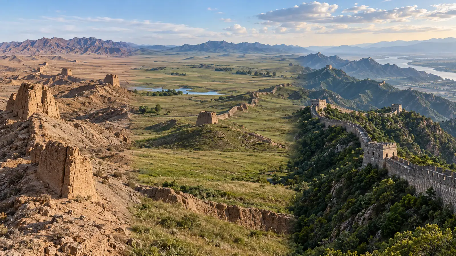
Choose a Section by Trip Style
A section name on a national map does not tell you how the visit will feel.
Choose first by your base city and available time, then compare walking difficulty, restoration, crowds, scenery, and facilities. Distant anchors such as Hushan and Jiayuguan belong to separate regional trips rather than an ordinary Beijing day trip.
Section | Best for | Typical trip base | Important tradeoff |
|---|---|---|---|
Badaling | Simple access, strong facilities, and limited-mobility planning | Beijing | Usually the busiest choice |
Mutianyu | Balanced scenery, restoration, and family-friendly lift options | Beijing | Still popular; entrance and lift logistics need checking |
Juyongguan | A close pass-and-fortress experience | Beijing | Steep stair circuits despite the convenient location |
Jinshanling | Managed hiking, photography, and architectural variety | Beijing or Chengde area | Longer transfer and more physical effort |
Simatai | Steep scenery and a Gubei Water Town pairing | Beijing | Access and evening-visit arrangements can be specific |
Huanghuacheng | Reservoir views and a different Wall landscape | Beijing | Use the approved scenic-area entrance, not an unofficial approach |
Shanhaiguan and Laolongtou | Pass architecture and the Wall meeting the sea | Qinhuangdao | Better as a coastal history trip than a mountain hike |
Hushan | The surveyed Ming eastern endpoint story | Dandong | Far from the standard Beijing route |
Huangyaguan | A managed Tianjin section with pass-town character | Tianjin or a dedicated transfer | Less convenient than core Beijing sections |
Jiayuguan | Silk Road history and western fortress scenery | Jiayuguan, Gansu | Requires a separate northwest China itinerary |
Match Your Time and Mobility
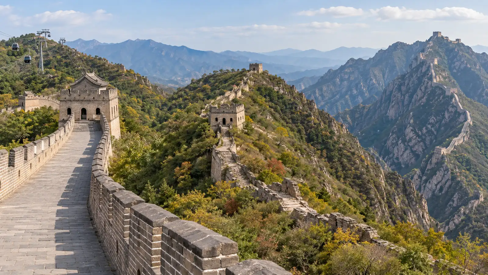
Badaling, Mutianyu, and Juyongguan are the clearest starting points when Beijing is your base. Badaling generally has the strongest transport and accessibility infrastructure.
Mutianyu balances lifts and scenery, while Juyongguan reduces the road distance but still demands substantial stair climbing once inside.
If a traveler uses a wheelchair, walks slowly, or needs frequent rests, “restored” does not automatically mean “level.”
Confirm the exact entrance, lift or ramp availability, and the distance between drop-off points and accessible viewing areas. A national map cannot answer those questions.
Match Scenery, Crowds, and History
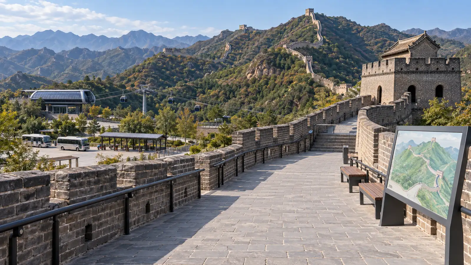
Choose Jinshanling for a longer managed hike and a mix of restoration states; choose Simatai for dramatic terrain and its pairing with Gubei Water Town; choose Huanghuacheng for reservoir scenery.
These choices usually reward travelers who accept more transfer planning than Badaling or Mutianyu.
Shanhaiguan, Laolongtou, Hushan, Huangyaguan, and Jiayuguan serve a different purpose. They help you understand the Wall as a national frontier system rather than a Beijing landmark.
Pick them because they fit a coastal, northeast, Tianjin, or Silk Road itinerary—not because a map makes them look like adjacent stops.

Great Wall Sections Worth Visiting
The following profiles keep the map and the traveler experience together. They prioritize managed scenic areas and historically important anchors.
Exact operating times, ticket rules, lifts, and transport services can change, so use these distinctions to shortlist a section and then confirm current official details.
Easy First Visits From Beijing
Badaling
Badaling is the most developed and widely recognized Great Wall section. Its transport links, restored walkways, visitor facilities, and accessible viewing arrangements make it the simplest choice for many first visits.
It also suits travelers who want a clear, monumental Wall experience without arranging a remote transfer.
The price of that convenience is crowd pressure. Arrive early, avoid major Chinese public holidays when possible, and do not assume every tower or steep branch will suit limited mobility just because the entrance area has better access.
Mutianyu
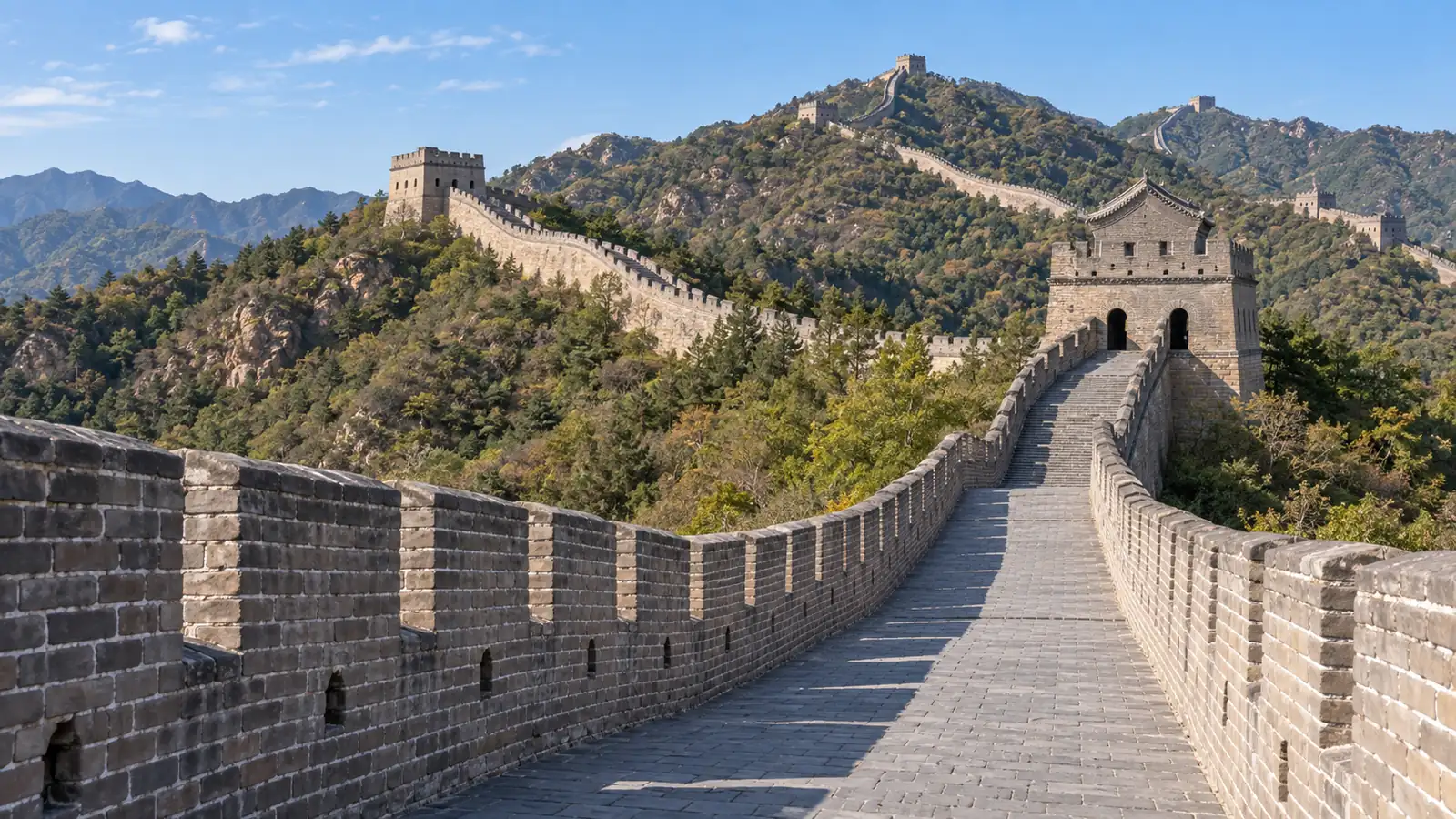
Mutianyu is a strong all-round alternative to Badaling. Restored battlements follow a wooded ridge, and lift options reduce—but do not eliminate—the amount of climbing.
It works particularly well for families, photographers, and travelers who want substantial scenery with established visitor infrastructure.
Check which lift or descent option connects with your intended walking direction. The scenic area has multiple moving parts, so a section map is more useful here than a generic pin for “Great Wall of China.”

Juyongguan
Juyongguan sits in a strategic mountain pass northwest of central Beijing. It is useful when fortress design and a closer transfer matter more than a long ridgeline walk.
The circuit rises sharply around the valley, so its geographic convenience should not be confused with an effortless visit.
Choose it for a compact pass experience or when it pairs naturally with another stop. Choose Badaling or Mutianyu instead if lift-assisted access and a longer sequence of open ridge views are the priority.
Scenic Managed Routes
Jinshanling
Jinshanling is one of the most rewarding managed choices for hikers and photographers.
Its long ridges, closely spaced towers, and mix of repaired and weathered architecture reveal more variation than the most polished sections. The walking is more demanding, but the quieter atmosphere can justify the extra transfer.
Do not assume the historic Jinshanling-to-Simatai through-hike shown in an old guide or map is fully open. Check the currently approved route and exit before setting out, and allow extra time for steep stairs and uneven surfaces.

Simatai
Simatai rises over rugged terrain near Gubei Water Town and is known for steep profiles and atmospheric views.
It suits travelers who want a managed section with a stronger sense of vertical drama or who are deliberately combining the Wall with the water-town area.
Reservations, evening access, and the part of the Wall open to visitors may follow specific arrangements. Treat the attraction’s current visitor map as the authority rather than tracing a route from an older national or hiking map.

Huanghuacheng
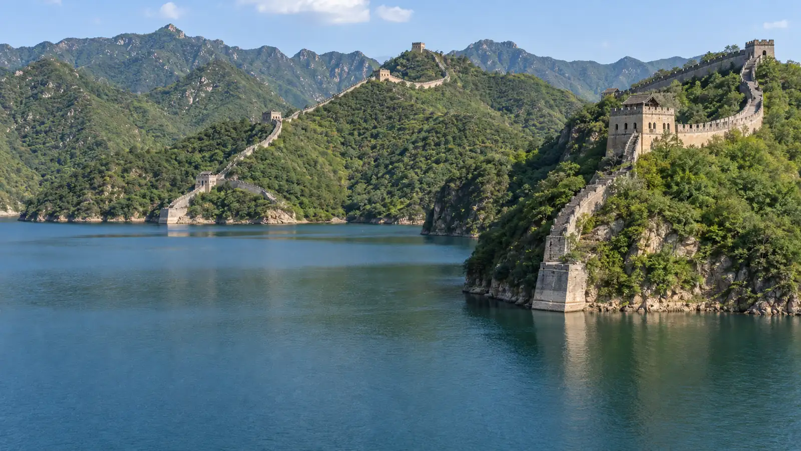
Huanghuacheng is distinguished by a reservoir landscape in which Wall remains appear beside and, in places, beneath the water.
It creates a gentler visual contrast than the exposed stone ridges at Jinshanling or Simatai and can suit travelers who want scenery beyond the standard postcard view.
Use the approved lakeside scenic area and its marked paths. Online photos may also show unofficial approaches to nearby wild Wall, but those images do not establish legal public access.
Historic Map Anchors Beyond Beijing
Shanhaiguan
Shanhaiguan is a major Ming pass near Qinhuangdao, where mountain, plain, and coastal defenses converge.
It is the eastern anchor in UNESCO’s concise public description of the Great Wall and remains one of the clearest places to understand how a fortified pass controlled movement through a strategic corridor.
Visit it for gates, walls, and military geography rather than for a remote mountain trek. It pairs naturally with Laolongtou but should not be labeled the universal eastern end of every Great Wall system.
Laolongtou
Laolongtou, or Old Dragon’s Head, is the famous coastal point where a Ming wall line reaches into the Bohai Sea.
It belongs to the wider Shanhaiguan defensive system, yet it answers a different map question: where can a traveler actually see the Wall meet the water?
The reconstructed seaward setting is visually memorable and easy to understand, but it is not farther east than Hushan and is not the easternmost point of the nationally surveyed Ming main line.

Hushan
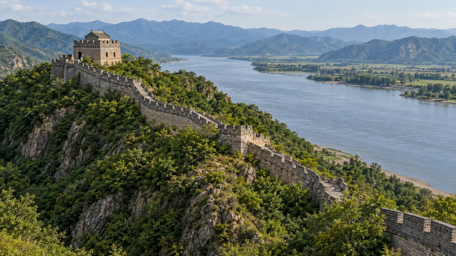
Hushan stands near Dandong in Liaoning, beside the Yalu River. It is the eastern endpoint used for the nationally surveyed Ming main-line convention, which is why modern maps may extend the familiar line beyond Shanhaiguan.
This is a northeast China destination, not an extension of a Beijing day trip.
Choose it when Dandong and border-region history already fit the journey, and remember that an endpoint label describes survey scope rather than an unbroken path to Jiayuguan.
Huangyaguan
Huangyaguan is a managed section in Tianjin Municipality with pass architecture, reconstructed walls, and a strong defensive-landscape setting.
It adds a useful alternative for travelers based in or routing through Tianjin and shows that the visitor-ready Wall is not confined to Beijing.
The transfer is less straightforward than the most familiar Beijing sections. Confirm the entrance and return transport in advance rather than relying on a map pin alone.
Jiayuguan
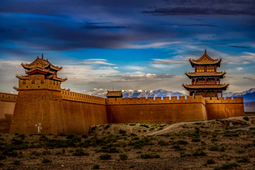
Jiayuguan is the principal western anchor of the Ming Great Wall and one of the most important fortified passes on the Hexi Corridor. Instead of green Beijing mountains, the setting brings together desert, fortress walls, distant ranges, and Silk Road history.
It belongs in a Gansu or northwest China itinerary, not a Beijing section comparison.
The wider defensive complex includes additional remains, but Jiayuguan is the clearest national map label and the most practical place to begin understanding the Ming western frontier.
Map and Access Checks Before You Go
Confirm the Section Is Open
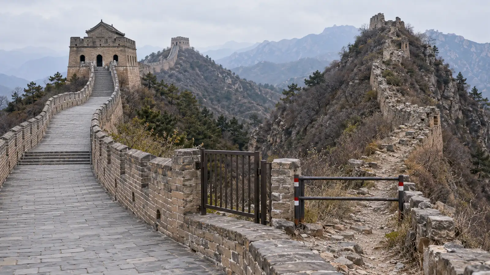
A line on a map does not create a legal hiking trail. Beijing rules prohibit organizing visits to or climbing Great Wall sections that have not been approved as visitor areas.
Jiankou is the most important example: its steep unrestored towers are famous in photography, but it remains an unopened wild section and should not be recommended as a casual climb, even with informal local guidance.
Other broad labels, including Gubeikou, may refer to a wider area with different boundaries and access conditions. Confirm the exact managed entrance and approved route.
If the plan depends on entering through a village, crossing an unmarked ridge, or leaving a scenic area through a different section, obtain current official guidance before going.
Use Section-Specific Maps
Use a national map to understand geography, a section map to choose towers and exits, a transport map to reach the entrance, and the on-site visitor map for the route that is actually open.
Cable car and shuttle maps are separate again: they solve movement within a managed scenic area, not the national Great Wall course.
Before booking: confirm the exact section name, province or municipality, and official scenic-area entrance.
Before walking: save the current open-route map and identify the final permitted exit.
Before connecting sections: verify that the link shown on an old hiking map is currently open and approved.
Before relying on a phone: keep an offline screenshot or downloaded map in case coverage or app access is limited.

For a longer managed route, compare the map distance with realistic Great Wall walking time. Steep stairs, photography stops, tower bottlenecks, and uneven surfaces can make a short map distance take much longer than expected.
Plan the Return Before Arrival
Choose the return plan at the same time as the section.
A direct shuttle, public transport connection, private driver, or guided transfer may make sense depending on the destination, but the last reliable departure matters more than the shortest route shown on a map.

Avoid building the day around unverified bus numbers or an assumed taxi pickup in a remote area.
A broader Great Wall tour plan can help compare independent and guided transport.
Weather also changes walking conditions dramatically, so compare your section with the best time to visit China, then check the local forecast, closures, and current scenic-area notices shortly before departure.
FAQ
How old is the Great Wall of China?
The earliest walls associated with the wider Great Wall tradition date to the first millennium BC. Successive states and dynasties added different systems, while most famous brick-and-stone visitor sections near Beijing were built or rebuilt during the Ming Dynasty from 1368 to 1644.
What Do Common Great Wall Map Labels Mean?
Changcheng means “long wall,” while guan identifies a strategic pass, as in Shanhaiguan or Jiayuguan. Map labels may also identify towers, forts, trenches, or scenic-area entrances, so two nearby names do not necessarily refer to the same visitor gate.
Does One Ticket Cover Multiple Sections?
Usually not. Named sections are separate scenic areas or heritage sites with their own entrances, tickets, transport arrangements, and approved walking zones. A map line connecting two names does not mean admission or trail access carries from one to the other.
Can You See the Great Wall From Space?
Not from the Moon, and generally not with the unaided eye from low Earth orbit. NASA notes that short segments can appear in high-resolution or radar imagery under suitable conditions, but that is different from seeing the entire Wall as a clear line from space.
Conclusion
Understanding the Great Wall of China on a map makes it easier to see how this vast network stretches across northern China. National maps show its historical scale, while section maps help you plan an actual visit.
For your first trip, choose a section based on your location, available time, walking ability, and interest in scenery or history. Distant sections are better treated as separate regional trips.
The Great Wall is not one continuous trail, so you do not need to see it all at once. Choose the section that fits your trip, check current access, and plan your visit around it.