
A Japan train map can look like a bowl of coloured noodles the first time you open one. The trick is to stop treating it as a single national diagram and choose the map that matches the journey in front of you.
Long-distance trips need a national or Shinkansen view, while a day in Tokyo or Osaka calls for a city map that includes the operators you will actually use. Live route information matters too, because the cleanest line on paper may not reflect a delay, a platform change, or the last service of the evening.
This guide explains the main map types, a simple three-layer planning method, the differences between Tokyo and Kansai rail diagrams, and the ticket details a route map cannot settle on its own. It also shares practical habits that make complicated transfers feel much more manageable.

How a Japan Train Map Is Organised
Japan's railway network is run by JR Group companies, municipal subway systems, and many private railways. A map may show only one operator, several operators in one city, a rail-pass coverage area, or major intercity links.
That is why two perfectly accurate maps can look completely different. Before saving one, check its title, operator legend, geographic area, and publication date.
Rail planning often happens while you are moving: checking the next departure, confirming a platform, or adjusting after a service alert. The Japan rail-trip mobile data provides mobile data that lets travellers use their chosen rail and map apps throughout the trip.
Start by deciding what question you want the map to answer. The table below shows the most useful match between map type and travel task.
Map Type | Best Used For | What to Check |
|---|---|---|
Nationwide JR map | Seeing the broad rail network between regions | Whether every stop is shown and whether the map describes routes or pass validity |
Shinkansen map | Linking major cities over long distances | Line name, train service, transfer station, and reservation needs |
Regional JR map | Planning travel within East Japan, Kansai, Kyushu, or another JR area | Map boundary, through services, and non-JR sections |
City rail map | Combining JR, subway, and private lines around a metropolitan area | Operator name, station code, transfer point, and exit location |
Pass coverage map | Checking where a specific rail pass can be used | Excluded trains, private-line sections, and extra charges |
A nationwide map gives context, but a regional or city diagram usually makes the actual transfer easier to read. A pass map serves a different purpose again: it explains validity, not necessarily the fastest route.
Choose the Right Map for Each Part of the Trip
A multi-city itinerary becomes much clearer when you split it into intercity travel, local movement, and station-level wayfinding. Each layer needs a different amount of detail.
Nationwide and Shinkansen Maps
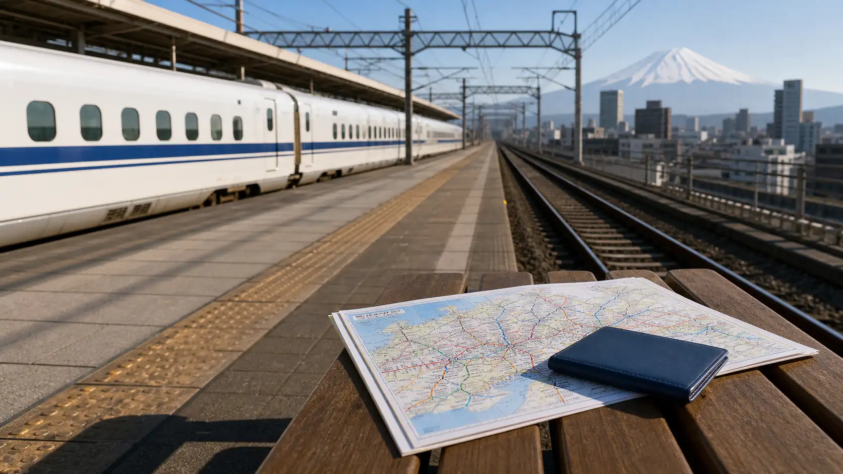
Use a nationwide map to place Tokyo, Nagoya, Kyoto, Osaka, Hiroshima, Fukuoka, and other major stops in relation to one another. Then switch to a Shinkansen map to identify the high-speed line and the station where you may need to change services.
The official nationwide JR route map is useful for this first pass. It is a network overview, so pair it with a timetable or route finder before deciding on a departure.
Regional JR Maps
Regional maps become valuable once the broad itinerary is fixed. JR East, JR West, and other JR passenger companies publish maps for their operating areas, often with more local lines and useful station details than a national diagram can fit.
Regional boundaries matter when you compare tickets or passes. A train may continue beyond the map edge, while a regional pass may stop being valid at a particular station or on a non-JR section.
Because those boundaries can affect a journey while you are already en route, a reliable data connection is useful for checking the latest operator information. iRoamly eSIM Resources provides travel eSIM service for visitors who want mobile data during their time in Japan.
Subway and Private Railway Maps
Inside major cities, JR is only part of the picture. Tokyo also has Tokyo Metro, Toei Subway, and private railways; Kansai journeys commonly mix JR with municipal subways and operators serving Kyoto, Nara, Kobe, airports, and suburban destinations.
City maps often use line colours and alphanumeric station codes. The letter identifies a line and the number helps you judge direction and count stops, but always follow the operator's own signs when several companies share a station complex.
Plan a Rail Journey in Three Layers
When a route looks complicated, reduce it to three decisions instead of studying every coloured line at once. This method works for a simple airport transfer—where the layout and rail access of Japan's major airports matter—as well as a trip across several regions.
Set the intercity spine. Mark the large cities and long-distance stations first, then identify the Shinkansen or limited express segments between them.
Add the local connection. Use a regional or city map to connect your hotel, attraction, or airport to the long-distance station.
Confirm the live journey. Check the departure time, service category, platform, fare, and any disruption shortly before travel.
A paper or PDF map is excellent for orientation. On a seven-day Japan route, it helps keep the intercity spine separate from local sightseeing lines. A live route planner is better for departure times and service changes, while station signs are the final authority once you are on the ground.
Tip: Save the official PDF for the region and take a screenshot of the final route, including transfer stations and train names, before leaving reliable internet coverage.
Reading Maps in Tokyo and Kansai
Tokyo and Kansai are the two places where visitors most often discover that an operator-only map is not the same as a complete city transport map. The distinction is easier once you know what each diagram leaves out.
Tokyo: Match the Map to the Operator
The Tokyo Metro map covers its subway lines and uses station letters, numbers, and line colours. A JR East map highlights JR routes such as the Yamanote Line, while a combined metropolitan map is more helpful when your route crosses operator boundaries.
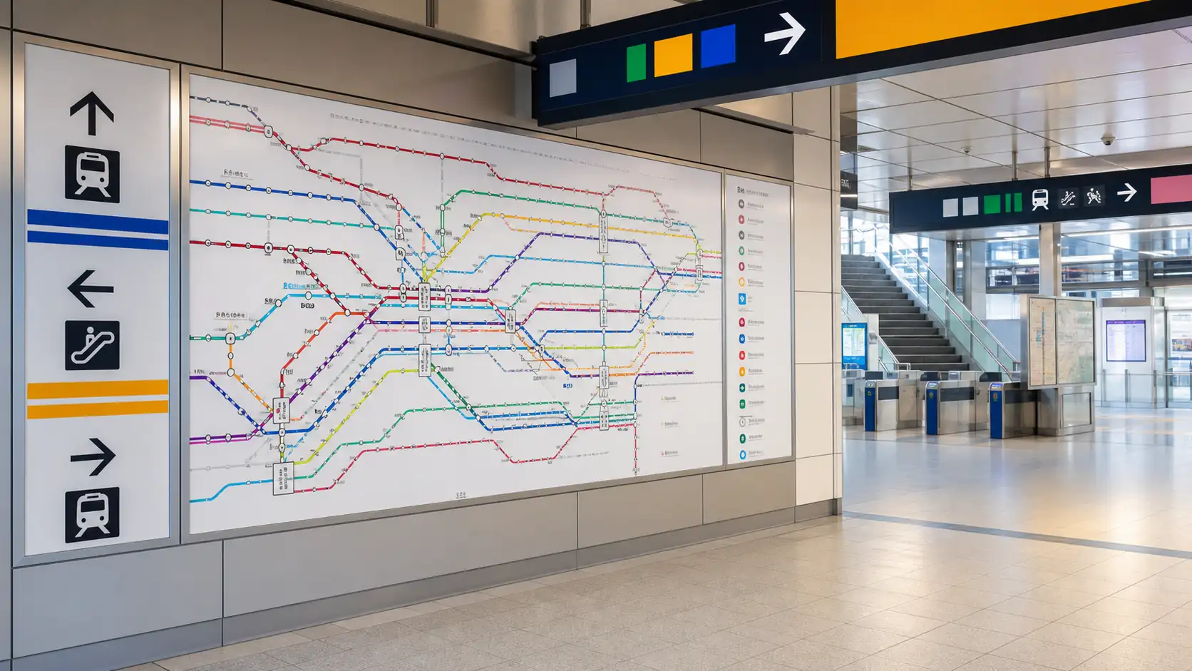
Mobile data helps when an apparently simple transfer changes after a delay or when two stations with similar names sit in different complexes. It lets travellers check their chosen transport tools while moving around Japan.
When using the official Tokyo Metro subway map, note both the station name and code. At a transfer, match the next line's letter and colour rather than relying on colour alone.
Kansai: Think in Corridors, Not One Network
Osaka, Kyoto, Kobe, Nara, and the regional airports are linked by a mix of JR and private operators. A route that looks direct on a broad Kansai map may require a ticket boundary, a separate gate, or a walk between platforms.
Use the JR West regional map for JR journeys, the Osaka Metro map for subway travel, and the relevant operator map for private-rail destinations. If your plan crosses networks, confirm the complete itinerary in a route finder rather than assuming one operator's pass covers the whole line.
What the Map Cannot Tell You About Tickets
A route line proves that rail service exists; it does not prove that one ticket or pass covers every segment. The official Japan Rail Pass conditions list covered JR services, exceptions, and non-JR sections that require extra payment.
Use this quick check before paying:
Operator: Identify who runs every segment, especially after a through service continues onto another company's track.
Service category: Check whether the train is local, rapid, express, limited express, or Shinkansen and whether a supplement or reservation applies.
Pass boundary: Compare the route against the exact validity map for the pass you intend to use.
IC card use: Confirm that the full journey supports your card and that no separate limited-express or Shinkansen ticket is required.
IC cards are convenient for many urban and local journeys, but they do not turn every train into a tap-in ride. Long-distance and reserved services may involve additional tickets or booking steps, so compare a pass with individual fares as part of your Japan trip cost planning.
Tip: If a route uses a train that runs onto private tracks, check the fare boundary even when you stay in the same seat.
Practical Train Map Habits at the Station
The final few metres of a transfer can be harder than the cross-country journey. Large stations may have multiple gate areas, underground passages, and platforms served by trains with different stopping patterns.
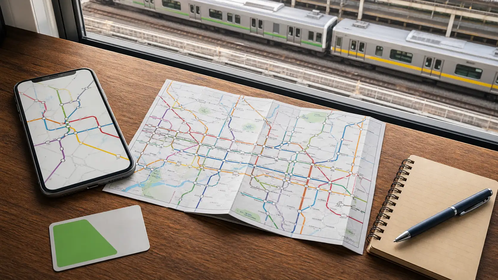
Before you pass through a gate, compare the operator name, line symbol, destination, and service category with your plan. Then follow platform signs rather than trying to hold the entire network in your head.
Write down station names in English and, when available, the station codes.
Check whether the destination is the final stop or an intermediate station.
Leave extra transfer time at very large stations or when changing operators.
Look at the stopping pattern before boarding a rapid or express service.
Recheck the last train if you plan to return late in the evening.
The most reliable routine is simple: use a broad map to understand the network, a detailed map to find the transfer, and live information to confirm the actual train. That combination keeps a complex diagram useful without asking it to answer questions it was never designed to settle.
FAQ
1.Can I save an official Japan train map for offline use?
Yes, download the operator's current PDF or save a screenshot before travel, then refresh it when you next have internet access.
2.Why does a transfer sometimes involve leaving the gates?
Separate operators or station buildings may use different gate areas, so follow transfer signs and allow time for a short walk.
3.What should I do if two stations have similar names?
Match the full station name, operator, line, and station code before choosing the route or buying a ticket.
4.How can I avoid boarding a train that skips my stop?
Check the service category and stopping pattern on the platform display before boarding, especially for rapid, express, and limited express trains.
5.Should I reserve a Shinkansen seat?
Reserve when you need a specific departure, travel during a busy holiday, carry oversized baggage, or want a particular seat. Some services have non-reserved cars, but availability and rules vary by train and period.
6.Does a Japan Rail Pass cover every train on the map?
No. Coverage depends on the operator, service, and route. NOZOMI and MIZUHO require a separate pass-holder ticket, while private-railway sections and some through services can also require additional payment.
Conclusion
A useful Japan train map is the one that matches the scale of your next decision. National and Shinkansen maps build the intercity plan, regional maps fill in the middle, and city diagrams handle the final local connection.
Keep route choice separate from ticket validity. Check the operator, service category, pass boundary, and live timetable before you commit, particularly when a train crosses onto private tracks or requires a reservation.
Once you work in layers, the coloured lines stop feeling like a puzzle and start behaving like a practical travel tool. Save the right official maps, confirm the live service, and give yourself a little extra time at major transfers.